Karten- & standortbasierte Systeme
Location is the pulse of work in the field
Route optimization & distance calculation
The day's shipments or visits aren't thought of one by one but as a route: not the shortest sequence, the most efficient one. The real difference shows when a stop gets added — the route rebuilds itself, and nobody in the field re-orders the list by hand.
- Automatic stop sequencing
- The route rebuilds itself on change
- Distance from address and geocoding
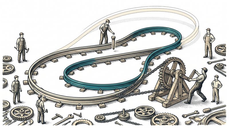
Live location sharing & fleet/courier tracking
The location of a courier, a vehicle or a field team refreshes on the map within seconds, and the control screen sees the whole field live. This is the shared backbone of the systems we build on the logistics side: departed, delivered, collected — each step is recorded from the phone as it happens, not collected as a report at the end of the day.
- Location refreshes within seconds
- The whole field watched live from control
- The same backbone across different logistics verticals
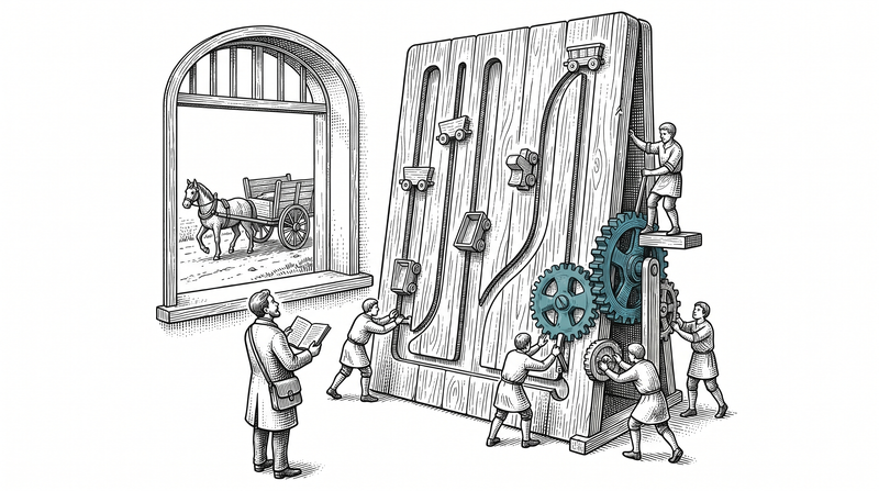
Geofencing & zone rules
A rule fires by itself as a zone is entered or left: the customer is told when a courier nears the delivery point, an alert is raised when a vehicle leaves a defined area. The zone is drawn on the map once and the rule stays tied to that boundary — nobody has to remember it later.
- Automatic trigger on zone entry/exit
- Proximity notice, boundary-breach alert
- Drawn once, and the rule stays on that line
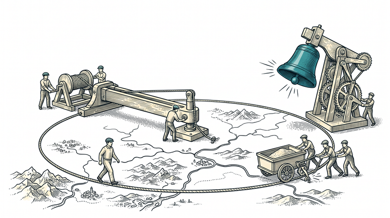
The sub-services beneath a location-based system
A map isn't decoration; every layer answers a question in the field.
Route optimization
Sequences the day's stops most efficiently; the route rebuilds itself on change.
Fleet & courier live tracking
A vehicle's or courier's location refreshes within seconds and is watched live from control.
Live location sharing
Live location is shared with a customer or a manager over a secure link.
Field-team map panels
Who's where and doing what — field distribution is visible on one map screen.
Geofencing & zone rules
Automatic notification and rule triggers as a zone is entered or left.
Address, geocoding & map layers
Turns a written address into a point on the map and adds layers as needed.
The systems we've built on the location axis
Systems built in different sectors share the same location and map core.
Intercity & shuttle transport
Route and passenger tracking for coach, staff and school shuttles, together with trip, seat, vehicle and fleet management.
Home-care agency
Visit planning and location-based tracking: where the caregiver or nurse is in the field, and when the visit was completed.
Private security
The patrol tour passes through NFC/QR-tagged checkpoints; every pass is logged with location and time.
Courier & distribution
At branches and agencies, courier routing, proof of delivery (POD) and cash-on-delivery (COD) are recorded together with location data.
Behind a pair of coordinates is real work
Location data isn't a point on its own; it's part of a route, the trigger for a zone rule, or the proof that a job was done. We work with geographic extensions like PostGIS so that geographic questions — is this point inside that zone, what's the nearest route between two points — get answered at the database level. That's why the map isn't just a visual layer here; it's a queryable one.
We learned this on two different fields. In logistics, routing, proof of delivery and fleet tracking are all built on top of location. In private security it gets sharper: the only proof that a patrol tour actually happened is the location and time stamp. There, a word doesn't count and a record does — a constraint that changes every design decision you make.
- Geographic queries at the database level (PostGIS)
- The map is a queryable data layer, not just a visual
- Routing, proof of delivery and fleet tracking in logistics
- In private security, location is the proof of the patrol itself
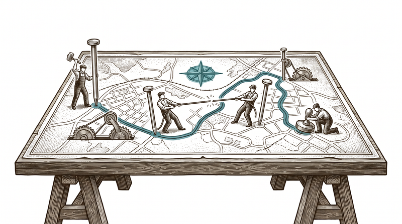
Sectors where location gets the job done
The same map and location core adapts to a different need in each sector.
Logistics
Live courier and fleet tracking, route optimization, proof of delivery (POD) and cash-on-delivery (COD).
Private security
The patrol tour passes through NFC/QR checkpoints; the location and time stamp is the proof itself.
Public sector & facility
The field team accepts a work order and closes it with location proof; the office tracks open jobs from the panel.
Agriculture
Field plots are drawn on the map; what was sown where, and when spraying and harvest happened, are logged with location.
How we build a location-based system
Map SDK & geocoding setup
We decide together which map provider and geocoding service to use, and set up the first layer.
Route & optimization rules
We define rules like stops, priorities and time windows, and tune the routing engine accordingly.
Live location channel
We set how often and over which channel location updates, then test it in the field rather than at a desk.
Geofence & field trial
We define the zone rules and validate them end to end, with real devices in the real field.
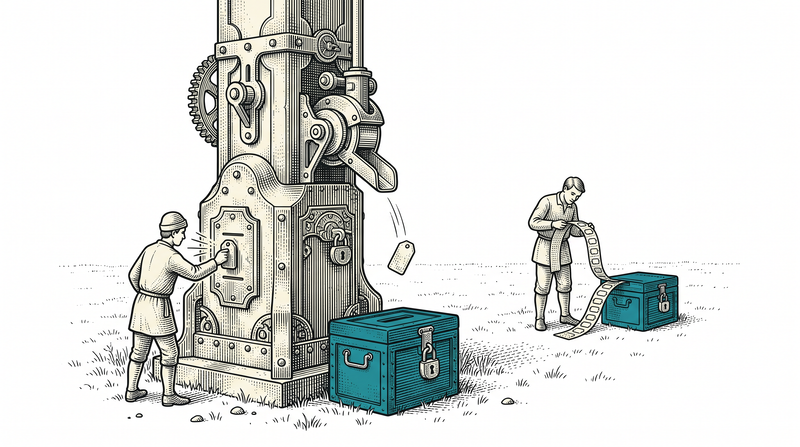
What ships as standard in every location-based setup
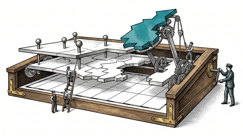
The technology we build on
- Map SDK
- geocoding
- Live location
- geofencing
- WebSocket
- FCM
- Geo queries
- PostGIS
Let's put your field work on the map
Tell us where you need to know what's where, and we'll work out the starting point together. You don't have to decide anything when the conversation ends.
Häufig gestellte Fragen
Nur fertige Produkte oder auch Individualentwicklung?
Beides. Unsere Produkte laufen im Abo; bei anderem Bedarf entwickelt dasselbe Team individuell.
Wie funktioniert die Preisgestaltung?
Monatsabo für Produkte; Festpreis oder Monatsvertrag für Projekte. Erstgespräch kostenlos.
Unterschreiben Sie NDAs?
Ja — auf Wunsch vor dem ersten Gespräch.
Können wir aus dem Ausland zusammenarbeiten?
Ja, wir arbeiten remote-first; Kommunikation auf Türkisch und Englisch.
Integriert es sich in unsere Systeme?
Integration ist unser Kern: Unsere Lösungen sprechen mit bestehendem ERP/CRM und Hardware.